Ranger-Ready Land Navigation Manual - Field Tan
3 sold in last 24 hours
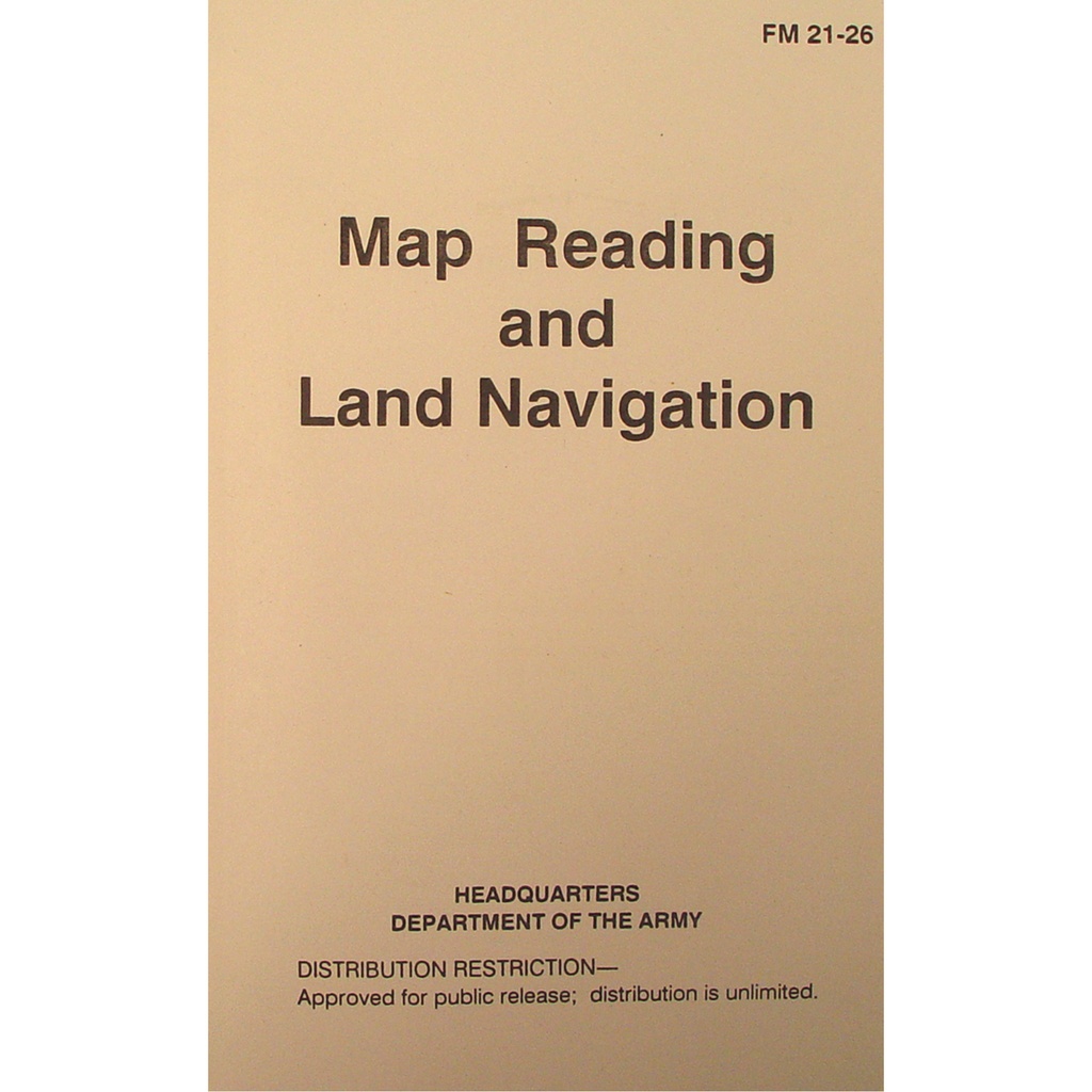
This is the same map reading and land navigation manual the U.S. Army used to turn theory into miles-on-the-ground competence. Reprinted from FM 21-26, it walks you through grid coordinates, azimuths, terrain association, and pace count in a clear, teachable format. Ideal for classes, ROTC, SAR teams, and serious outdoor training, its field-tan softcover disappears into a ruck but stands up to repeated use. If you want navigation skills you can test, grade, and trust, start here.
What This Land Navigation Manual Actually Delivers
The Ranger-Ready Land Navigation Manual - Field Tan is a straight reprint of the U.S. Army’s FM 21-26, cleaned up into a classroom- and field-ready format. No fluff, no adventure-story filler—just the doctrine that has trained soldiers, officers, and instructors in map reading and land navigation for decades. If you’re building real-world navigation skills for SAR work, ROTC, cadets, or backcountry leadership, this is a proven, testable curriculum between two field-tan covers.
Why Serious Training Still Starts With a Physical Land Navigation Manual
GPS fails. Batteries die. Phones break. A land navigation manual doesn’t. That’s why units, academies, and survival courses still teach compass-and-map first, electronics second. This manual gives you a complete, structured system for navigating with nothing more than a map, compass, and your own pace count.
Each chapter builds on the last: understanding map symbology, reading contour lines, working with grid coordinates, plotting points, determining azimuths, and translating all of that into terrain association and route selection on real ground. Instead of scattered tips from the internet, you get a coherent progression you can teach, practice, and evaluate.
How This Manual Breaks Down Map Reading and Land Navigation
Because this is an authentic FM 21-26 reprint, the structure is designed for instruction, not entertainment. It leads you from basic concepts into progressively more complex navigation tasks:
Clear Map Reading Fundamentals
The early sections cover exactly what most students struggle with: how to read a topographic map without getting lost in the details. You get step-by-step coverage of:
- Grid systems and how to understand grid squares
- Reading and interpreting contour lines for elevation and terrain features
- Common map symbols and marginal information (scale, declination, legend)
Instead of memorizing shapes, students learn how to visualize the ground from paper—critical for any serious navigation work.
From Grid Coordinates to Azimuths You Can Walk
The manual then walks through how to turn the map into movement:
- Plotting grid coordinates precisely, not just roughly
- Using protractors to determine azimuths on the map
- Converting between grid, magnetic, and true north with declination diagrams
- Planning legs, checkpoints, and attack points for practical routes
This is where classroom knowledge turns into field results—measured in whether people actually arrive where they planned.
Terrain Association, Dead Reckoning, and Pace Count
The doctrine doesn’t stop at straight-line bearings. It also covers:
- Terrain association: using identifiable features to confirm and adjust your route
- Dead reckoning: when you must trust your azimuth and distance alone
- Pace count: building a reliable, personal measure of distance
Instructors get a complete system: teach it in the classroom, drill it on the ground, and test it on day and night courses with clear performance standards.
Build Quality and Format: Made for Classrooms and Field Courses
This isn’t a glossy coffee-table edition. It’s a working manual meant to be tossed into rucks, loaned to students, and used as the backbone of a course.
Field-Tan, Mission-Focused Cover
The field-tan softcover matches the visual language of official military manuals—simple, readable text with no distracting graphics. It blends into a range bag or ruck, looks professional on a classroom desk, and holds up to repeated handling. The design quietly tells your students: this is training material, not entertainment.
Class-Ready, Bulk-Friendly Layout
The text is laid out exactly as the original FM 21-26, which matters if you’re teaching to existing military or academy standards. Page references, section headings, and terminology line up with how instructors actually talk on the range and on the course. At this price point, it’s realistic to issue one to every student and let them annotate, highlight, and dog-ear it as they learn.
Who This Land Navigation Manual Serves Best
Because it is doctrine-based and methodical, this manual works best for people who care about repeatable performance:
- ROTC and cadet programs building baseline map and compass skills
- Search and rescue teams standardizing how they teach new members
- Outdoor schools and survival instructors wanting a credible, structured curriculum
- Preppers and backcountry leaders who want more than YouTube-level navigation
If your goal is to be able to say, “We taught this, we tested this, and we can prove students improved,” this manual gives you the backbone for that system.
Using This Manual in a Real Training Progression
The real value isn’t just in owning the Ranger-Ready Land Navigation Manual - Field Tan; it’s in how you use it. A practical progression looks like this:
- Issue the manual on day one of your course or training cycle.
- Assign specific chapters as pre-reading before each classroom session.
- Reinforce key diagrams with hands-on map and protractor work at tables.
- Design short field exercises that map directly to each chapter’s skills.
- Run day and night land navigation courses as final validation.
Because the content is standardized, you can repeat this progression with multiple classes, refine it over time, and know exactly what material supports each drill.
What People Ask Before Buying a Training Manual Like This
Is this really the U.S. Army land navigation manual?
Yes. The Ranger-Ready Land Navigation Manual - Field Tan is a reprint of the U.S. Army’s FM 21-26, Map Reading and Land Navigation. The cover clearly credits the Headquarters, Department of the Army, and includes the original "Approved for public release; distribution is unlimited" statement. The value here is getting that doctrine in a compact, field-ready format you can issue and replace easily.
Is this suitable for complete beginners?
It was written to bring new soldiers up to operational navigation standards, so it assumes minimal prior knowledge but expects serious effort. Absolute beginners can start here as long as they’re willing to work through the examples with a real map and compass. Instructors often pair it with in-person demonstrations and drills, which is where this manual really shines—as the reference that backs up hands-on practice.
How does this compare to modern GPS-based navigation resources?
GPS tells you where you are; it doesn’t teach you how to think about terrain, route selection, or navigation under failure conditions. This manual focuses on those thinking skills: reading terrain, planning movement, and correcting errors using nothing but basic tools. Most professional programs treat this doctrine as the foundation and layer electronics on top, not the other way around. If all your batteries died, this is the knowledge you’d still want in your head—and in your pack.
Is it useful outside a military context?
Yes. While the examples and vocabulary are military, the underlying skills are universal: reading maps, plotting routes, estimating distance, and staying oriented in unfamiliar terrain. Many instructors in civilian SAR, outdoor leadership, and survival training use FM-derived material specifically because it’s been stress-tested by decades of real-world use.
Closing the Loop: Turning Pages into Practical Navigation Skills
Owning a land navigation manual isn’t the goal. Being able to step off at night, in unfamiliar terrain, and arrive where you intended—that’s the goal. The Ranger-Ready Land Navigation Manual - Field Tan gives you a structured, tested path to build that capability in yourself or your students. It won’t do the miles for you, but it will make sure every mile you train has a clear purpose.
Used well, this becomes more than a book. It becomes a shared language between instructors and students, a checklist for skills you expect people to master, and a reference that backs up every drill you run. Quiet, tan, and unassuming—but exactly what you want when accurate navigation actually matters.